I made it!
The morning of September 20th I was walking across the last 7,000 foot high passes of the PCT with two other hiker friends and by the late afternoon eating baby back ribs, pie and ice cream at the Manning Park Lodge in British Columbia.
Going back to the end of my last text post, a huge thunderstorm hit on the way into Snoqualmie Pass (mile 2402) and I soon learned that over a dozen hikers ahead of me had holed up waiting for it to pass at a hostel nearby. That thunderstorm included the most lightning I've ever seen and a solid
three hours of extremely heavy rain. It caused landslides that
destroyed a bike shop in Stehekin, the last town on trail. The hotel room was essential to get my tent, down jacket and down sleeping bag dried out. I had already realized that on my current schedule I would hit Stehekin (mile 2580) on a Saturday afternoon but the post office closes from Friday at 4:00 until Monday morning at 10:00. Not only that, but you'd have to make the 12:15 bus into Stehekin to catch the PO in time Friday afternoon since the 3:15 bus wouldn't get you to town until 4:30. That meant all of those hikers waiting out the rain, plus the ten or so hikers I was already around were all stuck on the same choice of either speeding up drastically through the two toughest sections in Washington to pick our boxes up at the PO on Friday or take it easy and get in on Sunday or Monday morning.
This late in the trail I had no reason to speed up and all the more reason to slow down and enjoy the scenery of what a trailworker/past thru-hiker I met on trail earlier called "the dessert of a thru-hike". I spent the next rainy night in Snoqualamie splitting a hotel room with Brown Bag and headed out after lunch. Speaking of food, there's a tiny restaurant run out of an RV called the Ardvark that makes incredible asian fusion food and raw fruit and veggie juices parked in front of a Chevron station. One of my Mom's friends sent an amazing $50 gift card and I think the Ardvark soaked up most of it! The Chevron station also holds a contract post office where all the hiker boxes are thrown without any kind of order into an out of use walk-in freezer. The staff directs you to the freezer to find your boxes and checks your ID as you leave, definitely a first for the trail.
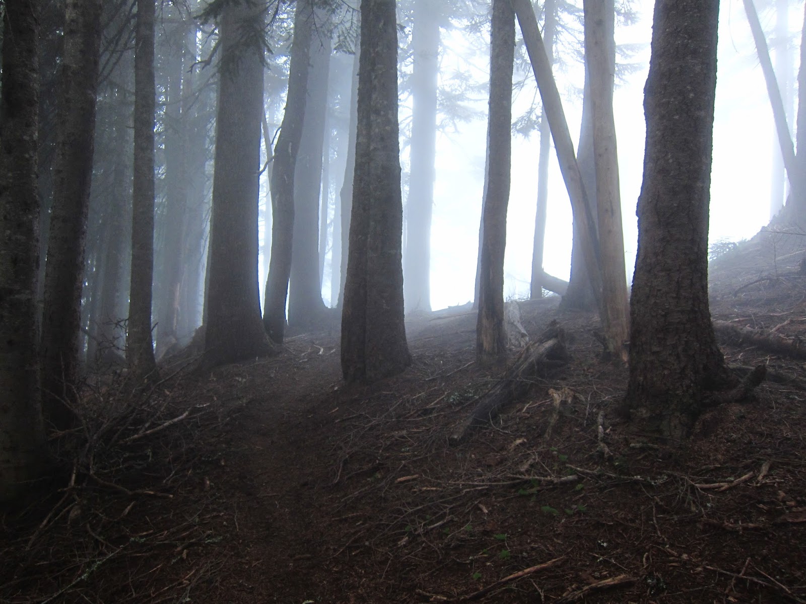
Anyhow, the rain storm hadn't quite blown through and the trail out of Snoqualmie climbs 3,000 feet to some incredible views that I didn't want to miss. Rather than haul ass out of town and get a full day in, I made camp just 10 miles out to make sure I didn't miss too much thanks to the low cloud cover which cleared up later that night. VP (Vegan Paul) and Brownbag made camp a few miles ahead while a lot of others went down to the bottom of the ridge another 5 or 6 miles further. A handful of other hikers took an alternate route that avoids two huge passes and cuts ten miles off the trail to try and make Stehekin by Friday. The alternate would have missed the two passes I was on and some
incredible views of Rainer and even Glacial Peak far off in the
distance. The next morning justified my decision as huge views of Mount Rainer between massive ridges opened up at dawn. The remainder of the trail reminded me of the Sierra - long graded
climbs up to high passes separated by forests and meadows, sometimes ten
to fifteen miles long. I passed VP that second day and ended up camping with Brownbag the next couple nights on the way to Stevens Pass and the town of Baring. He gets up later and I walk a bit faster but end earlier so we didn't do much hiking together, just the same miles per day. We even ended up hitching together even though I got to the road almost an hour before him.
I hit Stevens Pass after doing two 26 mile days and a short 14 to the road. Being a weekend, most people on the road were tourists unfamiliar with hikers which made for a slow hitch. Finally an employee from the semi-closed ski resort left work and gave us a ride to Baring. Baring is tiny, really just a handful of houses and a tiny general store/restaurant/post office in one building - "Der Baring Store". However, there are trail angels in Baring - The Dinsmores. A woman from the Seattle NPR station was out interviewing hikers when I got there, mostly about the book "Wild" and what we thought the movie would do to the trail. In case you're curious, I haven't met a single through hiker inspired by that book but almost everyone over the age of 30 asks me about it. The Dinsmores have been hosting hikers and bikers since 2003 or so, they even have a devoted room with bunks and a TV for us. The laundry and showers are also a nice touch! First thing I ate in town was some of the best strawberry rhubarb pie I've ever had.
After a night in Baring I started what I think is probably the toughest section on the trail, Washington Section K - Stevens Pass to Stehekin. It started out as a seemingly never ending stretch of 1,000 foot up and downs which progress to four 2,500-3,000 foot passes as you wind your way around Glacier Peak - a huge glacier covered mountain. The hiking was tough but the views were fantastic! The first night I camped with Sir Poppins - an Austrailian hiker I met the first day in Washington and have hiked on and off with since - on top of Grizzly Peak with great views of the distant North Cascades for sunset and sunrise. The following day meant more 1,000 foot climbs until finally reaching Red Pass and descending directly south of Glacier Peak, the mountain I had seen off in the distance for almost a hundred trail miles.
In 2003 a half dozen bridges over glacial creeks were washed out in this section but all had been replaced in 2011. One wash out was so bad they had to re-route the trail 3 miles downstream and back 3 miles up stream, adding 5 miles to the PCT. However, the old route was still open if you're brave enough to do a log walk over the Siuate River. The old trail cuts off the extra 5 miles but is covered in blown down trees and simply disappears when you get near the river. It was a nice change from the well groomed, hike without thinking PCT. The log crossing was also the most exciting thing I've done on trail; smooth, 40 feet long and over 8 feet off the ground at the far end but touching the river at the near end and only a foot thick. My heart was pounding when I got to the end! The trail was still nowhere to be seen through the thick overgrown brush but I simply bushwacked straight uphill, knowing the new PCT ran for miles to the right and the left just up the ridge in front of me. Again, a nice change from the monotony of following such a well maintained trail.
After the log were several more huge passes, including one where you could see the switchbacks winding back up the next pass from the top of the pass you're standing on. To add to the fun the trail was severely eroded above treeline and formed a kind of narrow concave shape that puts a lot of extra pressure on the sides of your feet, just where I have the most foot pain! The uphill wasn't quite as bad as the downhill which really had me in significant pain. I may have some bone bruises or something on the pinky-toe knuckle of both feet since this has been a recurring problem for 1,000 miles or so.
The last full day of hiking had only one 3,000 foot climb but left me more exhausted than the previous two pass day. The last day into town was a 9 mile hike following a river which carves its way into a deep gorge to High Bridge - a ranger station and bus stop to Stehekin. The town can only be accessed by hiking in at least 20 miles from Rainy Pass, a 4 hour ferry ride, or by seaplane. Most of the residents are part time workers for the Ranch (horses and stuff), the lodge and the bakery. This bakery has been talked about for over 2,000 miles on the trail as the best bakery and not without reason. Everything was delicious! Even if my metabolism didn't make me hungry every two hours I would have still stuffed myself with everything from cinnabuns to mushroom, cheese and egg filled croissants.
That night I got into Stehekin with the usual crew of hikers stuck on the same schedule (VP, Sir Poppins, Brownbag, Cinco, Baxter+Wildcat and Muppet+Stilts) plus a dozen others I hadn't met before. I split a room with Brownbag, VP and Cinco since the weather turned foul after almost two weeks of incredible warm sunshine, rare for Washington in September. The day I got in was summer - 80 degrees and sunny. The next day it was definitely fall, in the fifties and overcast with the odd bit of drizzle. All the hikers I came in decided to leave on the noon bus after getting their packages at the PO on Monday but for some reason I decided to stay an extra night. Maybe I was delaying the end of the trip, maybe I just wanted to give my feet a break. I can't say why but doing this meant I wouldn't see most of them the rest of the trip. I even missed some goodbyes, which I regret but was happy to take a day off - my first in Washington.
I had been talking with a lot of locals during my brief stay in Stehekin and got invited to a campfire potluck that night. I bought a bag of organic veggies from the local gardner and with the help of a few locals made some delicious hobo stew with the ingredients other people brought. We had a good time and I got a free stay in a guest bedroom behind the bakery. I left on the 9:00 bus with two hikers I had passed early in Washington - Midnight Chocolate and Cowgirl. They were old college friends an had hiked the whole trail together, so it was a little funny hiking with them but we seemed to get along pretty well. All day it threatened to rain but never did until a mile from camp at Rainy Pass, twenty miles from Stehekin and just sixty miles from the Canadian Border. I planned on doing a least 24 the next day, then 22's all the way to Manning Park (8 miles after the border). The girls were slowing down to wait for one of their families and wanted to do straight 20's so I thought we parted for the rest of the trip that next morning.
After Rainy Pass the trail ascends another 2,000 feet to another pass. An hour into the climb the rain started falling with my watch reading 39 degrees. Near the top it turned to snow, then back to rain on the descent to a small valley. It was cold and damp, the worst weather for hiking. If I stopped, I got cold and didn't want to get my down jacket damp in the rain so I had no option other than to hike without stopping until conditions improved or I made camp and got into my sleeping bag. This is the price you sometimes pay for going ultralight. After almost six hours of continuous hiking I stopped for a half hour lunch under trees as the weather improved and things started to warm up in a low river valley. Naturally the trail climbed up almost 3,000 feet on the way to Woody Pass, the rain returned and again turned to snow as the afternoon grew later.
I reached 24 miles just after 5 pm, the minimum distance I intended to cover to camp near a spring a few miles from Woody Pass. A group of hikers were already at camp with a small fire burning. I knew I could make 6 more miles to Harts Pass that night, and 30 the next day to the border if I wanted to. That would mean catching most of my friends, finishing a day early and getting the bus to Vancouver first thing the next morning. On the other hand, here there was a warm fire, the rain had stopped temporarily so I could pitch my tent in the dry and there was a chance the two girls behind might go a bit further and catch up to me. This kind of choice has happened a lot on the trail, and usually I go the extra 6 miles, but this was different. This was the end. Why rush it? Sure the weather was shit, but it could break that night. I could push myself to go faster but I had pushed myself for two thousand miles.
I camped there. In an hour, Midnight Chocolate and Cowgirl caught up and we camped together. That night the temperature steadily dropped well below freezing, long enough to turn the ground outside our tents into rinds of ice and to cover the inside of our tents with thin films of frost from the moisture from our breaths. I wore every piece of clothing I carried to stay warm since I switched to an ultralight sleeping bag 1,300 miles ago and managed to stay "warm enough" but not comfortable.
Lucky for us, the weather broke that night and stayed sunny but cold and windy the last two days of the trip. The hiking remained incredibly scenic all the way to the Canadian border and the easy 22 miles a day meant my feet didn't ache and I could stop along the way to enjoy it. I hiked with two new friends on and off to the border instead of finishing alone or desperately trying to catch the friends I left ahead.
The trail officially terminates at monument 78 at the border, and I was ecstatic. I drank a Fat Tire beer out of the glass bottle I carried the last 80 miles, took a lot of photos and read through and signed the last trail register. The two girls were going to camp 4 miles from Manning Park and finish to meet family the next day while I was going the whole 8 miles to eat a real dinner (since I was almost out of food) stay in a hotel room and catch the next bus to Vancouver. We parted ways and I walked the last miles alone, just as I had started them. The trail terminated at a road and I paused before leaving the woods the last time. I washed my hands and face in a stream next to the trail, stepped onto the road and walked the last mile to Manning Park.


 h
h