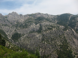
Leaving Ashland, OR began what has been the most boring, mind numbing and depressing section of trail, only punctuated by a few small mountains and Crater Lake. The crest transforms from a spring fed ridge line of mountains and meadows into a low series of waterless treed in flatland's. The walking is easy but the only water sources are lakes (yuck) which I bleach to kill the nasties (normally I don't treat springs or spring fed creeks) since I ditched my filter 1,000 miles ago. Approaching Crater Lake the weather turned to cold rain and hail for two days although the hikers ahead of me had an amazing five days of rain in Oregon, in August. Very strange weather. I rolled into Crater Lake on the edge of boredom but excited to see the lake. Hanging out in Mazama for a few hours let other hikers I knew roll in and soon a group of four of us walked up to the rim to catch the sunset and sunrise the next morning - Halfway, Scrub Hiker and Lightning Rod. I ran into Halfway, a guy who I hadn't seen since Mount Laguna - almost 1,800 miles ago! I hiked with Halfway and Lightning Rod on and off all the way to Bend but we lost Scrub when he went to Diamond Lake resort to charge his phone. The weather that night on the ridge turned cold and puffy jackets came out but we enjoyed ourselves. Crater Lake is pretty astonishing and it made me wish I had a car to explore the opposite side. That feeling continued a theme of the trail: see lots of little pieces of large amazing things and hope to come back to explore them further.
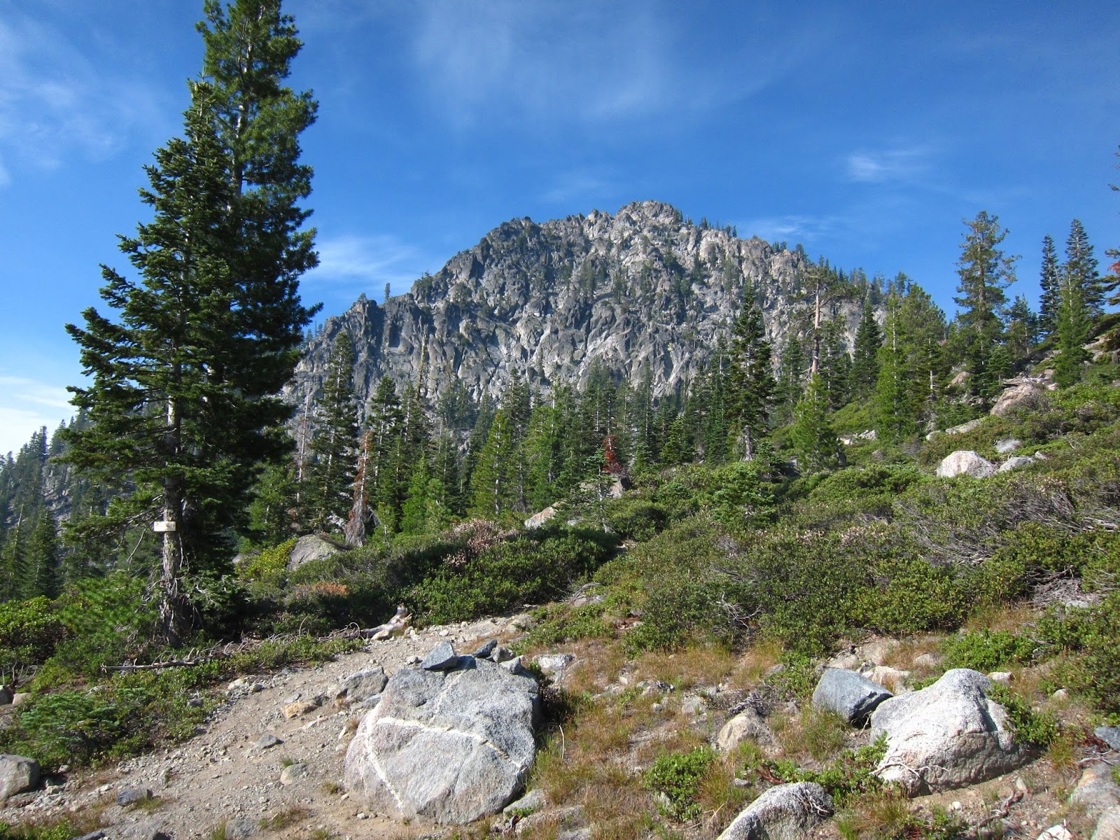
The next day finished a 27 mile waterless stretch of trail to Mount Theillsen. I would have climbed it but was running low on water and getting tired. I made camp 6 miles later on a ridge overlooking the mountain. After that, there really was nothing to photograph for over 100 miles. The hiking was mostly long very gradual climbs punctuated by long gradual descents to small buggy lakes. I took an alternate route to Shelter Cove to cut out 10 miles of the monotony which had even more lakes.
Shelter Cove is just a little RV/cabin resort on a lake. There's not much there. I left the same day and planned to do 12 miles but ran into a XC ski cabin just off trail and decided to stay the night. It's the only night on the PCT I've spent at a cabin, unheard of on the AT. The next day I hiked to a lake off trail by a mile to get water. The map showed an old trail connecting the lake to the PCT a few miles further north which would save me some time over going back the way I came. The trail was unmarked and masked by down trees but I spotted the foot prints of at least one hiker. They only went one way so I assumed the trail still existed and connected back to the PCT. I could tell the trail had been well used a long time ago; it was a distinct depression in the hillside but covered in a thick layer of pine needles, sticks and frequent dead trees. I followed the trail NE up along the same ridge the PCT climbed, knowing I could cut east at any time and not miss the never ending line of the PCT. After two miles the trail disappeared at a saddle but there was no PCT in sight. I spotted some old PCT markings as the trail disappeared but they were too disjointed to follow. My map showed the trail connecting a mile earlier than what I assumed to be the saddle I was in. I spent a few minutes wandering around and then decided I must still be downhill and west of the trail, so uphill I went. Ten yards later and there the PCT was! I probably didn't save any time over going back the way I came but it was more fun than the PCT had been lately.
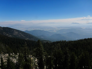
Boring trail continued the rest of that day when after 32 miles I ran into a group of Oregon Department of Fish and Game people doing fish surveys in the lakes near the PCT. As soon as they saw me someone shouted "Hey! Want a beer?" and I knew I was in for a treat! Soon eleven enormous steaks went onto the grill, ten for them and one for me! Plus a third of another steak from someone who couldn't eat all of his! I also had half a baked potato, salad and my normal hiker dinner. Their crew was full of funny stories and we had a great time talking until after dark. I got up early, had some coffee and hit the trail before they even started cooking breakfast to make sure I didn't wear out my welcome. The food really reset my spirits and the day seemed to move by faster than normal. After a lengthy burn area I finally had some views of the Three Sisters, three huge volcanic mountains in a row. Not only that but I encountered dozens of day hikers and weekend backpackers. I haven't seen this many since the John Muir Trail back in the Sierra Nevadas!
Weather rolled in and it threatened to rain but never did. I ran into a day hiker that fed me apple slices, a milky way bar and goldfish! He wanted to hike the PCT in a few years so I answered his questions in an undiscussed exchange for food. It turns out his friend is the guy that corrected the time posted by the woman who broke the unsupported PCT record (look up Anish Hikes on facebook). After we parted I continued to hike to a campsite before some lava rock with Halfway. The ceiling of clouds above dropped to just a few hundred feet above our tents and made for a spectacular sunset only an inch wide but full of orange mountains covered in clouds. It's the sort of thing that would never come out on a photo so I didn't bother. I expected to wake up to a soaked tent but a few hours later stars were out when I had to pee.
The next day I got up earlier than Halfway and Lightning Rod and headed down off the Three Sisters ridge to Highway 242. Sadly my trusty orange trowel broke during a technical cat hole excavation. 2,000 miles of cat holes takes its toll on orange plastic trowels. At a trail junction I looked over to my left to see two excited campers waiting for something. The woman said "Are you a through hiker??" and cheered when I answered yes. More trail magic! They had chicken sandwiches and tacos from some fast food joint, blueberries, sodas and beer! I spent a while talking to them, both past through hikers - Iguana (the woman) and Boomer. Apparently last weekend was rainy and they only had two through hikes come through their camp. Boomer just moved to Bend and gave me his phone number for a lift the next day. We chatted for a while but I still had 17 miles left to go so I headed out after 45 minutes or so. Half a mile later I crossed highway 242 and three coolers full of sodas, fruit and beer appeared! Oregon was suddenly rich in trail magic! Another half mile of lava rock to the trail head and water cache where I chugged a liter and replaced it in standard desert hiking fashion.
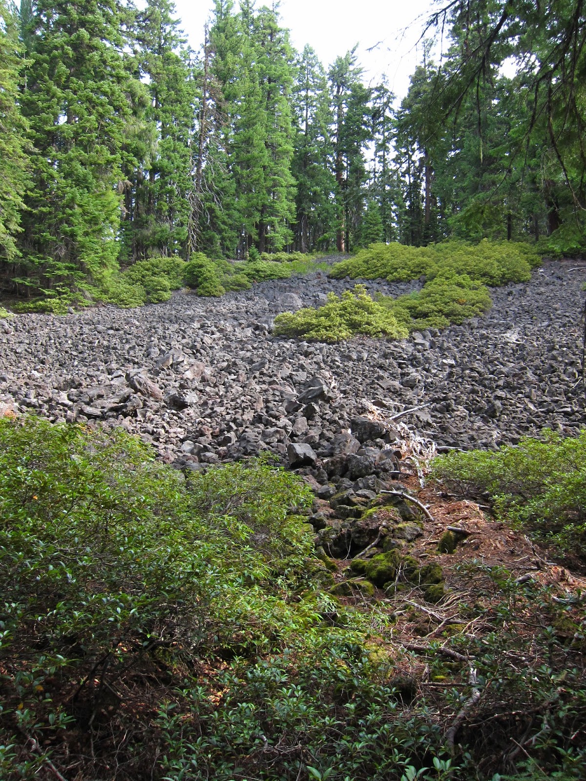
The next six miles was mostly lava rock - golf ball sized hunks of pumice that dig into your feet. Not fun and slow progress. I made up time by only stopping for a few minutes at a time the next 11 miles, including at the 2,000 mile mark! There's an unmarked side trail right at mile 2,000 but no sign or usual stick number. Two hikers I ran into and I decided to make one (see the photo post). I kept trucking ahead of them, got to the highway and started hitching in the wrong direction by accident. It was a long day... Someone actually pulled over to correct me and I soon got a ride to Sisters, OR. Sisters is a fancy resort town so I decided to get to Bend instead and talked my way into a ride at a pizza place. I wandered around downtown bend that evening looking for a place to stay. What I had in mind originally was full but the owner pointed me to a motel down the way.
Today I gave Boomer a call and we hung out most of the morning. He even drove me to REI and the grocery store! I talked my way into a ride back to the library to write this incredibly long blog post and upload all those photos. I'll stay in town tonight and try to put in twenty miles tomorrow after a late start.
Wish me luck!