Yesterdays lesson was don't believe the weathermen. We had already pushed the hike back a day to let the Friday and Saturdays rain clear out and forecasts predicted overcast skies clearing around 10 or 11 am, 30-40 mph winds near the summits. Not perfect, but we expected to be out of the trees all day and were eager for views. Not hiking Saturday let our group of 24 AMC hikers (!) - 19 Southbound and 5 Northbound - spot the cars more easily, eat a big dinner and the southbounders catch an early nights rest at the newly reopened White Mountain Hostel in Gorham. A 21 mile hike with just under 9,000 feet of elevation gain was on the menu for early Sunday morning. The southbound presidential traverse hits Madison, Jefferson, Adams, Clay, Washington, Monroe, Franklin, Eisenhower and ending at Pierce. The northbounders would add Webster and Jackson for an additional mile or two to the list. This was to be excellent training for my upcoming year of through hiking.
A HUUUUGE thank you to the AMC leaders that organized this collossal undertaking, especially Pam, Joe, Jonathan and Alex!
The southbounders all drove about half an hour to the Appalachia parking lot, adjacent to the AMC highland center, leaving the lot by 5 am:
 |
| My camera time stamp of 4:38 AM |
We took the Valley way path up to the Crawford trail - one of the oldest hiking trails in the White Mountains:
 |
| Steeps on the Watson Path |
We could tell we had hiked out of the valley fog into a larger cloud system as we left the trees below.
 |
| Foulest weather on the world |
Ascending past treeline around 8 am let the full force of the weather hit us - 30 to 50 mph winds blowing light rain and fog all the way up the rocky slopes of Mt. Madison, down and to Madison Spring Hut. I didn't want to ruin my camera right off the bat so no photos of the wall of white we hiked through. Visibility was down to 2-3 cairns at a time or less.
 |
| "View" from Madison Springs Hut |
Arriving in the hut many people realized the high winds had blown water straight through their rain jackets. Once we all sat down everyone got cold, so it was a huge help to have hot drinks and snacks at the hut. I got pretty chilly after a few minutes and a few folks were shivering.
At this point the new forecast called for higher winds and more rain than we expected, with no definitive clearing during the day. 5 of the 19 southbounders called it a day and turned back to the Appalachia parking lot. We wouldn't find out until reaching cell service at Mt. Washington that the entire team of northbounders had bailed at Mizpah Spring Hut just after Mt. Jackson. It took an hour and a half to warm up and decide what to do. The remainder of us decided to keep going for Adams and Jefferson and bail on various side trails if conditions didn't imrpove.
Leaving the hut we seemed to climb out of the clouds, if only briefly.
 |
| Bits of blue sky heading up Adams |
View of Madison Springs hut from midway up Adams.
The rain seemed to cease and we were all able to dry out not long after leaving the hut. Unfortunately we would spend most of the day in and out of the fog.
 |
| Hikers in the mist. |
The fog would blow back, revealing the tops of the clouds and then roll in, or we would descend back into it.
 |
| Mount Quincy Adams |
 |
| Trail dog Paprika! |
 |
| Scrambling up Jefferson |
 |
| Hopeful signs on the way to Mt. Clay |
 |
| Joe and his 5 time NH48 summitting dog Paprika |
 |
| Cog railway heading down into the clouds |
 |
| Lake of the clouds hut |

We summited Washington over an hour after we had planned. Continuing on would mean arriving at the trailhead at 10 pm at the earliest and more than half the group was wearing thin. The leaders decided to call it a day and head down the Ammonusic ravine trail to meet up with several of the hikers that bailed earlier. A faster advance group left first to retrieve cars from the other parking spot area. A big thanks to Pam for figuring all of that out. We also learned the Northbounders hit bad weather like we had and turned around early, all along we were expecting to run into them and swap keys. I was hitting my SPOT as we hiked along and they were able to follow our progress, despite the lack of cell coverage. As we descended Washington the views opened up and I finally got a glimpse of the Presidential range. I decided to make a run for Monroe while the others kept descending. One of our group - Nadiya joined me as we zipped down past Lake of the Clouds hut and up Monroe.
 |
| Monroe and Lake of the Clouds hut - ironically cloud free |
I scrambled up Monroe a little ahead of Nadiya and hit the worst wind I've ever experienced. I could barely stand up and Nadiya told me afterwards she had to crawl.
 |
| Washington from the summit of Monroe |
 |
| Washington finally clearing up |
 |
| Heading down the Ammo trail |
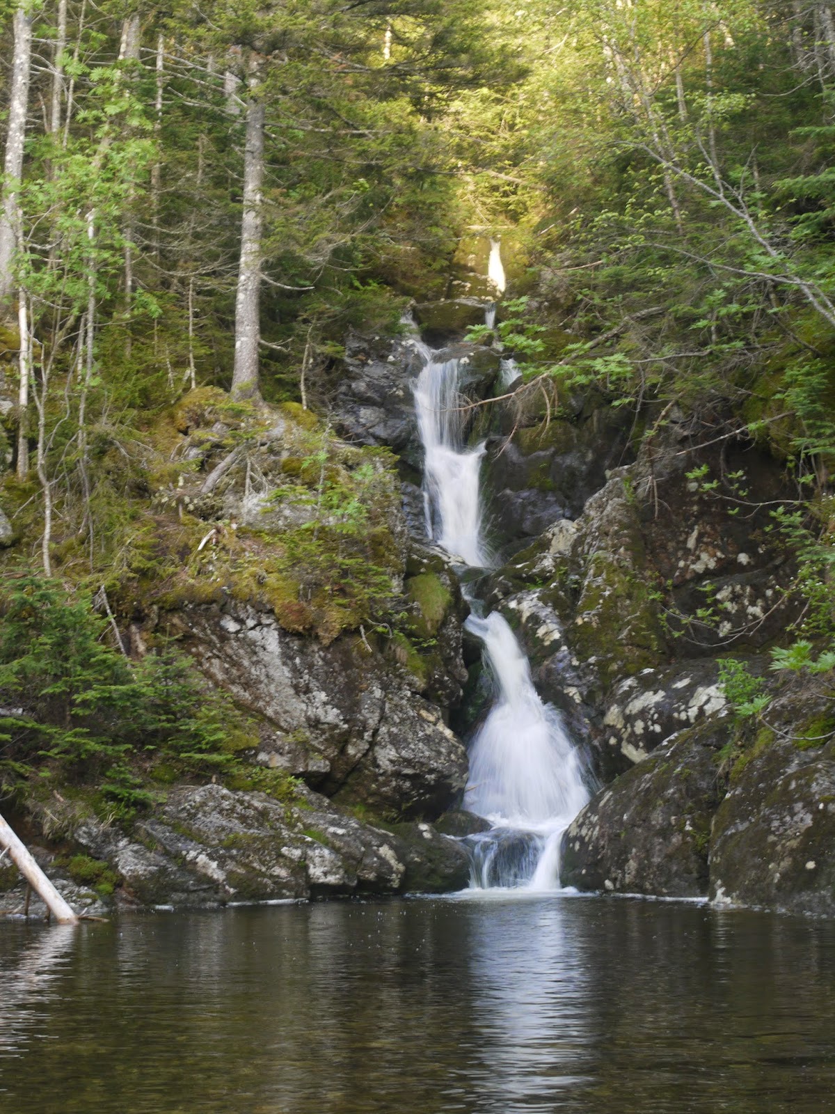
 |
| Waterfalls |
 |
| Reunited in the parking lot. |
We spent the next hour trying to figure out how to get everyone back to their car and reunited with their overnight bags - no easy task. By 10 pm everyone was reunited and we were on our respective ways out. A tough but rewarding day. I'll have to come back and try for the full traverse again since I had done all but 800 feet of the elevation and had nothing but easy ridge walking left.
Full photo album here: http://imgur.com/a/LTXJ2#0


Thanks for the shout outs Mike-- on this post and below. A fun day despite the headaches! Love the shots, especially hikers and Paprika in the mist-- #11,12, 16. Really captures so much of the day. Thanks for sticking with the main group and for consistently lightening the mood with your fun sense of humor and unfailing kindness. I hope you do go back for the traverse on a good day. It's an amazing hike. But then again, so are all the ones you're planning and have done. So much to see in this beautiful world!
ReplyDeleteThanks Pam! It was a good time on all parts, thanks again for organizing and getting me in on the hike!
Delete