Finally some photos! Sadly it was pretty smokey from a large forest fire in eastern OR between just after Burney to Crater Lake.
 |
| A couple of bike tourists from Portland, OR that know my friend Bob K! |
 |
| Gettin' there! |
 |
| Large dam near Burney Falls, sadly I forgot to get a picture of the falls... |
 |
| Cougar or dog? |
 |
| 71 year old Japanese native Toyo is also hiking the trail! What's your excuse now? :) |
 |
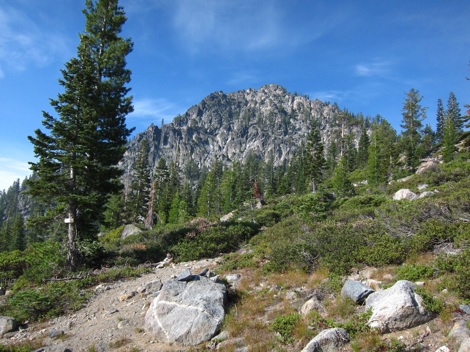
| Castle Crags outside Castella, CA |
 |
| Heading up towards Castle Crags! |
 |
| Look closely and there's a pipe spewing ice cold spring water. Lots of these in NorCal. |
 |
| More delicious spring water! |
 |
| I don't know why I like trees swollowing signs so much. |
 |
| Paradise Lake! One of my favorite campsites, the lake is fed entirely by a huge spring off to the left. |
 |
| Spring feeding Paradise Lake. |
 |
| This is what most of the views looked like, pretty smokey. |
 |
| I see one of these guys about once a week. Why do they run away? I just want to cuddle! |
 |
| Oregon border! Still in the shirt my brother gave me 1,000 miles ago! |
 |
| The sign leaves a bit to be desired but you get the idea. |
 |
| Pilot Rock outside Ashland. |
 |
| Bad weather blowing in. |
 |
| This little mountain top was called Lucifer on my map. |
 |
| Lots of burn in OR. |
 |
| Really sad walking through the PCT in Crater Lake NP because they are the least maintained of the entire trail. Lots of dead trees and poorly drained trail. Thanks Repulicans! |
 |
| Morning after the rain. |
 |
| My camera is not big enough to get the whole lake, it was pretty amazing. |
 |
| 4 cold hikers on the crater lake rim! From left to right: Lightning Rod, Hiker Box Special (me), Halfway and Scrub Hiker. |
 |
| Sunrise over the lake. Sadly the smoke blew back in overnight. |
 |
| Thanks forest fires... |
 |
| Another sign swollowing trees! The trail in OR is very old.. I haven't seen this emblem anywhere else. |
 |
| The highest point on the "official" PCT in OR and WA. The real highest point is unmarked on the crater lake rim. |
 |
| Lots of lakes in this flat boring section. I really hate drinking lake water too. |
 |
| Diamond Peak was the only view for about 200 miles... |
 |
| Kermit, a PCT hiker's father, gave me and two other hikers a lift to the trailhead in his kermit the frog VW van. Totally awesome! |
 |
| More lakes... yay.. |
 |
| Sweet cabin! I wanted to do 6 more miles that day but it ended here! |
 |
| Me and a few others spent the night telling stories and playing poker. |
 |
| These are what my maps look like if anyone is curious. Usually they're not upside down though. |
 |
| That old school PCT emblem again. Future tattoo? |
 |
| After 200 viewless miles I turn a corner and see horses! That means a pack train which means FOOD! |
 |
| It was a Fish and Game group doing fish surveys in those lakes I was complaining about They gave me one of those giant steaks!!!! |
 |
| South Sister in the distance, a little smokey here too. |
 |
| Clouds blew in as I approached the three sisters. |
 |
| RV'ing with pack animals? |
 |
| Obsidian! |
 |
| Obsidian falls! |
 |
| Mountains! |
 |
| You can see the smoke in the distance, sometimes it sort of condenses overnight like that. |
 |
| North and Middle Sister. |
 |
| The start of about 6 miles of on and off lava rock walking, not fun on the feet. |
 |
| Water Cache, try and read that poster if you can. |
 |
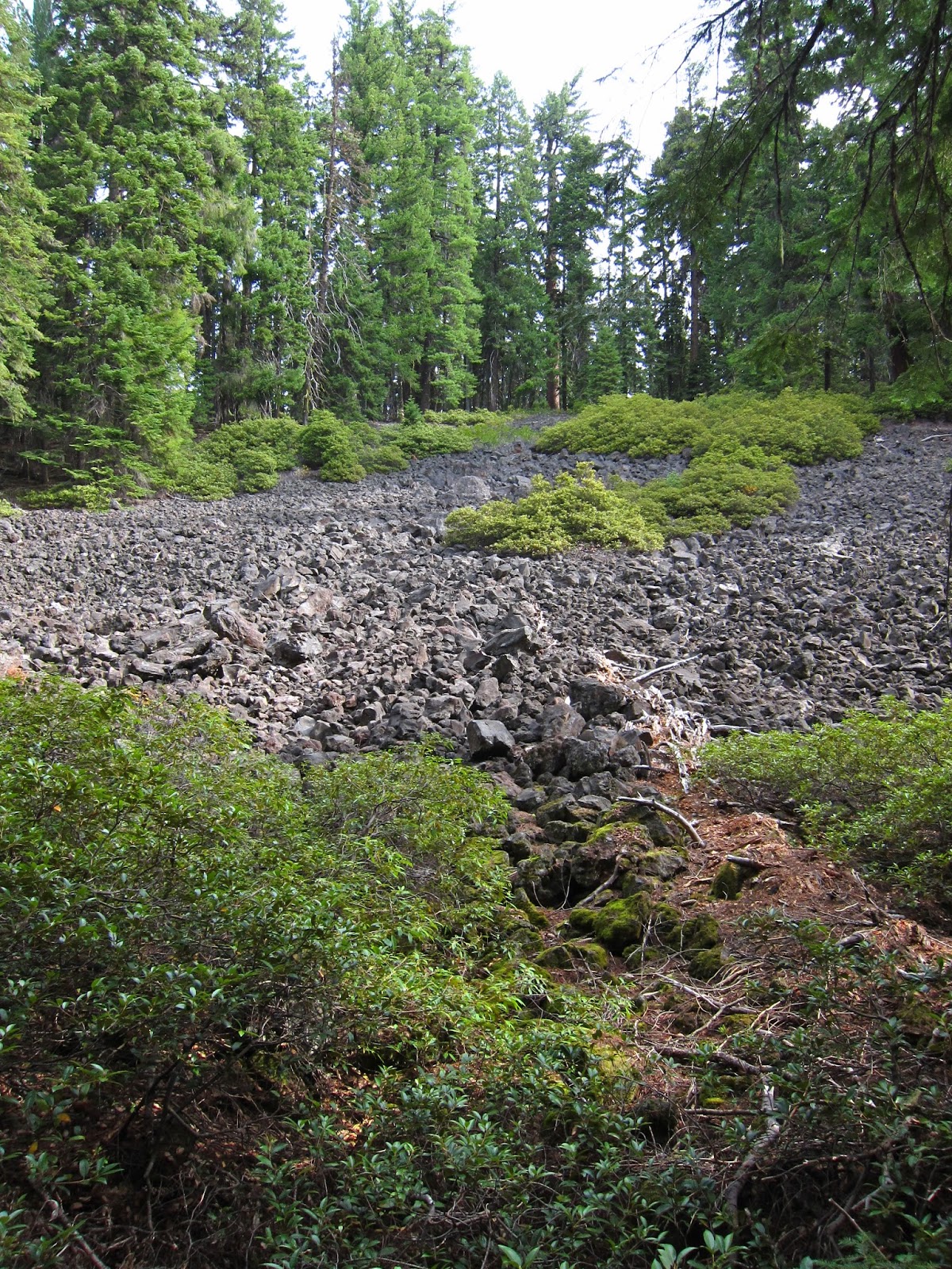
| How did a tree ever grow here? |
 |
| Me n' Washington |
 |
| 2,000 miles hiked!!!!!!!! Two other hikers and I made the marker since there was nothing at the spot. |
 |
| Bend is my kind of town! |


No comments:
Post a Comment